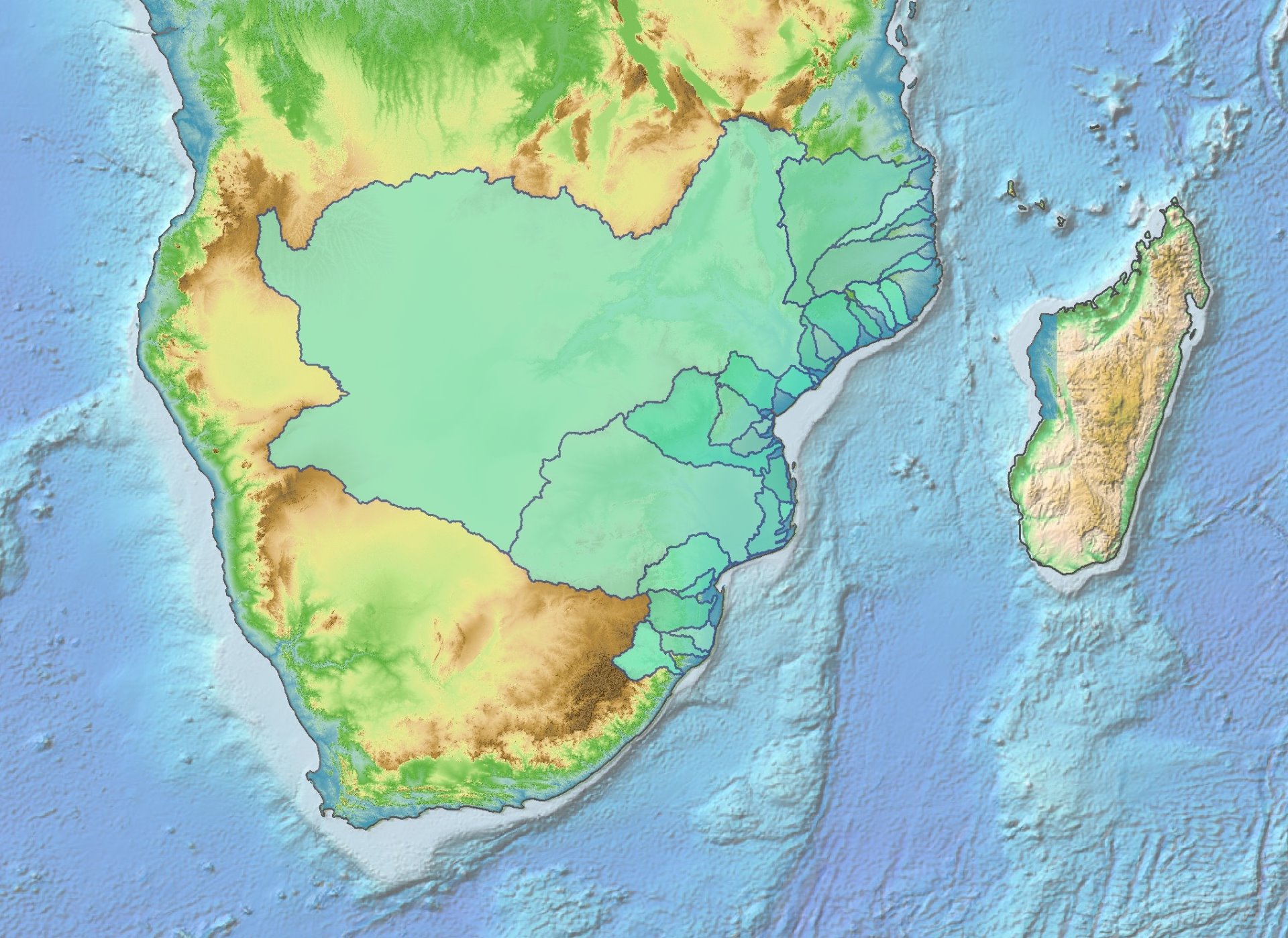
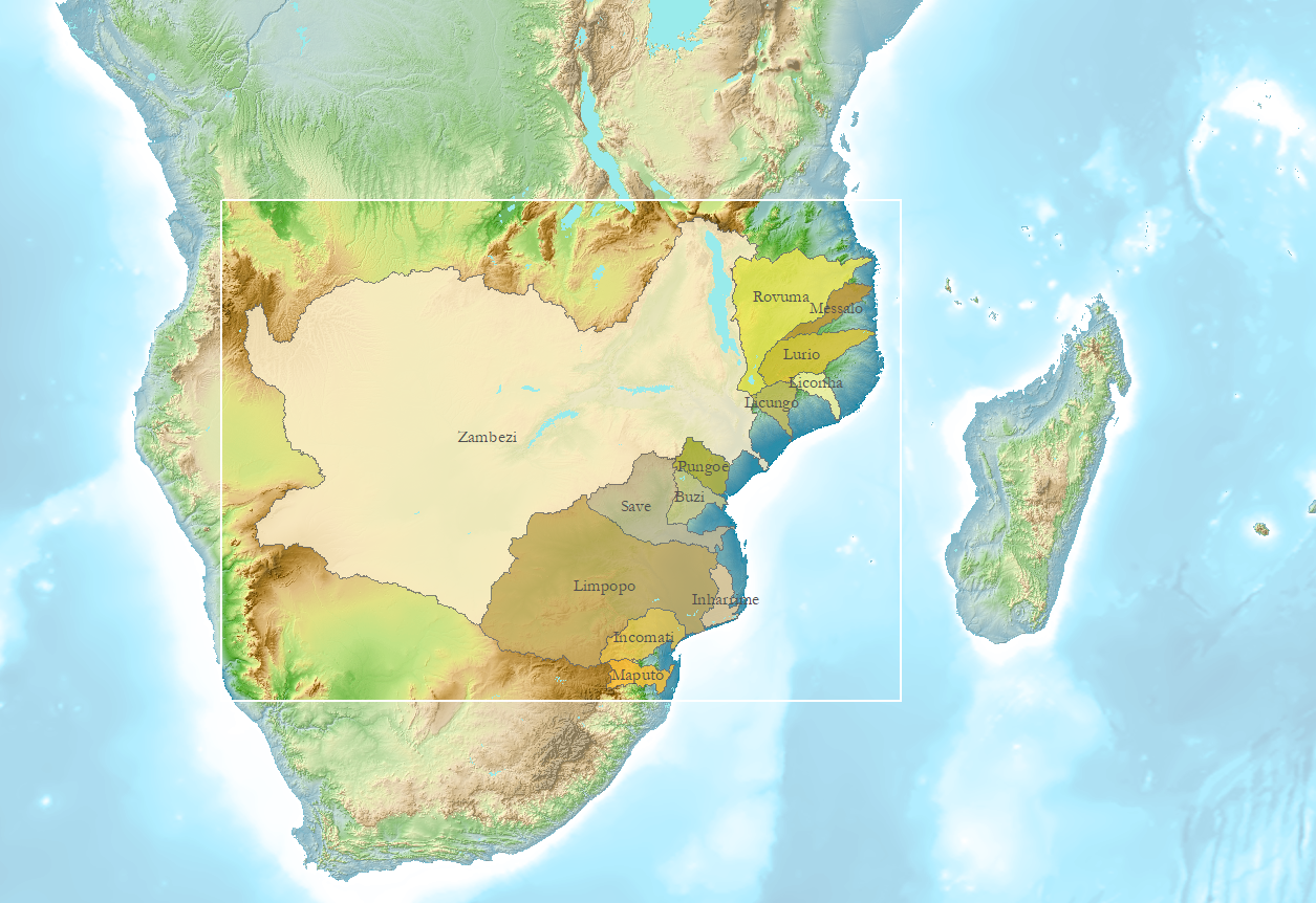
Phanerozoic evolution of 29 rivers of the Mozambique Margins
29 drainage basins were defined in GIS for our Source to Sink and Palaeodrainage studies. A Phanerozoic and more detailed Jurassic to Present evolution was reconstructed using the Palaeostream Approach.

We give a conceptual overview of the entire Phanerozoic palaeodrainage history, through several geodynamic cycles, and produced a detailed Mozambique palaeodrainage from Jurassic to Quaternary. In the Phanerozoic palaeodrainage, we describe post-Pan-African palaeodrainage, Karoo rift drainage, and finally, as the Karoo Plume makes its appearance, both as a volcanic province and as regional topographic feature, we describe the drainage evolution per timeslice from the Jurassic onwards.
Two-fold approach
The Palaeostream Approach was developed in the need of a systematic way of reconstructing regional drainage, thereby employing a novel, twofold methodology for reconstructing very ancient to the most recent drainage history. As river erosion is a process that alters the land surface by removing material, thereby also removing evidence, the erosion record is full of gaps. Using the Palaeostream Approach we aim to detect and close such gaps.

For Southeast Africa, the Oligocene was seen as the limit between the 'recent' changes (reasons why are explained in the report), which are greatly aided by analysis of modern geomorphology, land surface analysis and drainage patterns. For the more ancient palaeodrainage, additional methods are called upon, together with analogues for geomorpholgy and drainage.
Geodynamic framework
Palaeodrainage reconstruction can never be untied from a wider Earth systems approach, that includes geology, geodynamics, and structural geology of an area extending beyond the study area. Without a geodynamic framework as a guide, only the most recent drainage changes can be explained with some degree of confidence, e.g. those of Quaternary-Holocene, but no causes can be given.
Read more about palaeodrainage reconstruction methodology.

